A Mobility Solution for NSW Spatial Services
Survey Mark
The Brief
Field services mobility solution for NSW Spatial Services.
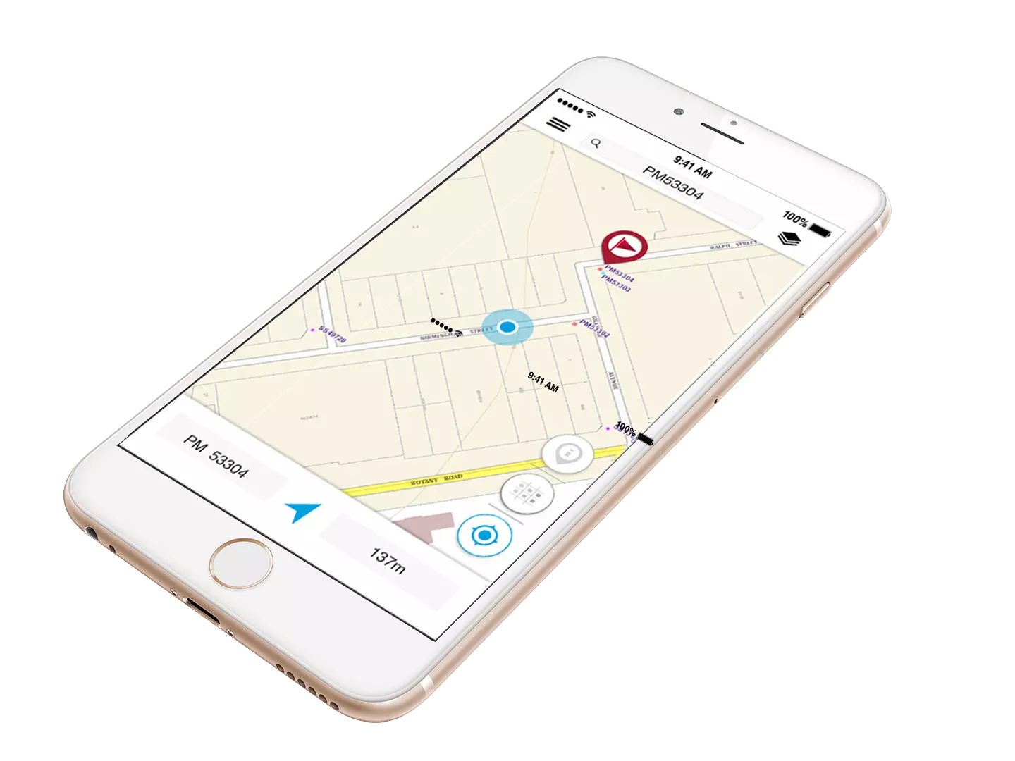
NSW Spatial Services engaged Mobiddiction to build Survey Mark, an on-field mobility application.
This tool is designed to help NSW surveyors working in the field to locate, review and report on survey mark information.
The app is open to the public, however, the target customer base are surveyors and members of the spatial and construction industries.
Three important things
Map
Mobile Services
Connect
Insights
A mobility solution.
SCIMS Online, developed and operated by Spatial Services, is the source of truth for the dissemination of control survey spatial data and related metadata for NSW. It has proven to be an efficient and valuable tool for the survey industry. A survey of SCIMS Online users identified the development of a SCIMS product for mobile devices as a useful addition to the service capabilities Spatial Services provides to surveyors. Spatial Services chose Mobiddiction to deliver this mobility solution.
”Survey Mark is Spatial Service’s first venture into the delivery of services via commercially available mobile platforms.
Online tools
On-field spatial integration with a touch experience
As surveyors are familiar with using an online tool, we focused on simplifying the user experience and the presentation layer. The survey tasks can now be completed on a mobile device with a touch enabled geo-smart device. The interface design leverages the best of the hardware, location based abilities and smarts that a mobile device offers.

Enabling users
Features
The NSW Survey Marks App enables users to:
- Search and view the location of survey marks against various NSW base maps and imagery.
- View the published SCIMS coordinate values pertaining to a survey mark including metadata such as accuracy and projection parameters.
- Retrieve and view a survey mark’s Sketch Plan.
- Report back to DFSI Spatial Services the status of a survey mark (i.e. found intact, not found, damaged, destroyed etc.
The Experience
Developing a framework
Spatial Services engaged us to develop a framework to facilitate future organisational mobile development for Spatial Services. The Survey Mark mobility application’s purpose is to enable Surveyors working in the field to readily access information regarding survey marks and submit feedback instantly regarding the status of the mark.
Survey Mark uses a hybrid model with a single codebase and leverages existing Spatial Services technology frameworks including SCIMS online, ArcGIS for spatial information for SCIMS marks and ESRI JSAPI for the display of the imagery.
Working together
Spatial Services and Mobiddiction Collaboration
Both teams at Spatial Services and Mobiddiction collaborated using an agile project delivery methodology. Our delivery included a requirements review, design, documentation, build, test and release of a new publicly accessible Survey Mark mobile application.
Internal team members and stakeholders at Spatial Services included the Project Lead, Survey Services group within Information Sourcing, ICT staff, Directors of IS and ICT and other Senior Spatial Services and ICT Management. The Mobiddiction delivery team consisted of our Project Lead, our mobile GIS and technology consulting specialists, UX, UI, QA delivery and our product development team.
The project team at Spatial Services worked closely with our team members, whether it was to help us understand their tool in greater detail or to collaborate on a solution on a feature set. This approach enabled us to achieve a great outcome which was the on-time and on-budget delivery of Survey Mark.
The Survey Mark application has been very well received. We plan to continue to work with Spatial Services to support the Survey Mark application and develop new features over time.
Feedback
What’s New
Zooming and other map interactions. We have also addressed few other minor bugs and improved the performance of the app. You can leave your feedback or concerns by going to settings section of the app and selecting ‘App feedback’.
We have also update the app to new web services that provide GDA94 coordinates (with Class and Order) or GDA2020 coordinates (along with new positional and Local Uncertainty values, where available) for SCIMS survey marks in NSW.


