Why Private Venues Need Custom Maps with Wayfinding: Beyond Standard Navigation
In a world driven by digital experiences and seamless navigation, private venues face unique challenges that generic mapping tools like Google or Apple Maps just can’t solve. Whether it’s a sprawling convention center, an expansive university campus, or a vibrant events precinct, the need for precision, control, and tailored visitor experiences has never been greater. This is where custom mapping and wayfinding solutions truly shine.
The Unique Challenges of Private Venues
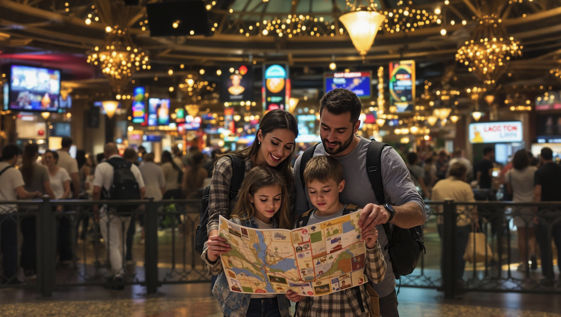
Unlike public streets or well-mapped city blocks, private venues like stadiums, zoos, parks, or exhibition grounds often feature complex layouts, private access points, changing infrastructure and restricted zones. Standard map providers may show your location, but often lack the up-to-date details or the venue-specific pathways your visitors rely on.
- Event layouts or internal road structures can change frequently
- Entrances, building wings, and facilities are often difficult to find on generic maps
- Public maps may lead guests to the wrong points, closed gates, or even unsafe pathways
- Opportunities for branding, sponsorship, and guest engagement are missed
The result? Frustrated guests, lost revenue opportunities, and more staff time spent on providing directions instead of delivering experiences.
How Custom Mapping with Wayfinding Makes the Difference
By investing in a custom map with intelligent wayfinding, private venues gain full control over their digital landscape. Here’s what this means for your venue:
- Tailored Navigation: Provide turn-by-turn walking directions across your unique site—be it multi-level buildings, event sites, or outdoor trails.
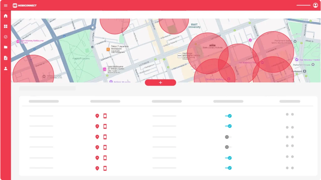
- Real-Time Updates: Instantly update routes and Points of Interest (POIs) for construction, events, or temporary closures.
- Venue Branding: Custom-styled maps reinforce your brand identity, highlight sponsors or theming, and create a polished guest journey.
- Rich Visitor Engagement: Add photos, descriptions, audio, or QR codes at any location—enabling interactive exploration and accessibility for everyone.
- Advanced Analytics: Understand guest flow, peak congestion zones, and optimise your operations accordingly.
For guests, this translates to stress-free visits, improved accessibility, and a sense of confidence navigating unfamiliar spaces.
Mobiddiction’s Proven Expertise
With years of experience, Mobiddiction has mapped some of Australia’s most complex and iconic venues— from managing navigation for major events like the Sydney Royal Easter Show to enhancing visitor experiences at display villages, memorial parks, and educational campuses. Our GIS specialists blend technology with on-site knowledge to deliver truly seamless venue mapping solutions.
Learn more about our custom mapping capabilities or explore recent client stories on the Mobiddiction blog.
Ready to Transform Your Venue Experience?
Take the next step towards a smarter venue with Mobiddiction’s custom mapping and wayfinding solutions. Deliver clarity, confidence, and delight to every guest—no matter how unique your space.


