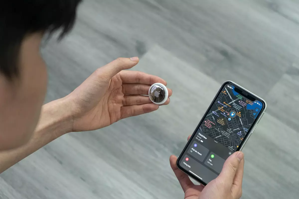
We are so used to walking around with devices that can pick up our location, that count our steps and that can detect which way we are holding our phones – yet have you ever asked yourself how this is done? The answer – mobile device sensors.
1. What are sensors?
The sensor is a device that detects the changes in the nearby environment and sends that data to the operating system or processor.
Mobile devices usually come with a standard set of motion sensors. You might hear these referred to as “9 DoF” sensors, which stands for “9 Degrees of Freedom”. They consist of a 3-axis accelerometer, a 3-axis gyroscope, and a 3-axis magnetometer, for a total of 9 measurements of movement and rotation.
The “3-axis” means the measure in each of the x, y, z directions, which you can think of as left/right, forward/backward, and up/down directions. Often a barometric pressure sensor is added which allows measurement of altitude change, which is sometimes then called a “10DoF” sensor package. The outputs of these mobile device sensors can be combined over time in a process known as “sensor fusion” to calculate a device’s change in orientation and change in position over time.
Note that these sensors don’t “know” where you started or ended up, they just let you calculate from when you stared measuring how far you moved and how fast you’re going and how you turned. You might have done that in Sydney or New York or Paris – these sensors don’t know that.

2.So, what do the sensors know?
The data from the motion sensors are often combined with other data available to the device. For position/location information GPS can be used, and in more recent devices, 5G positioning. While the 9DoF sensors can calculate, for example, that the device moved 15m North, then turned 90 degrees to the right and moved 3m East, then turned 180 degrees and moved 44m up, then moved West 4m – with the GPS info that it started outside 44 Market St added – it can now be calculated that the device is in the Mobiddiction office on the 12th floor, even though it can’t get a GPS fix inside the building.
Other geolocation data can come from radio receivers in the device detecting Bluetooth beacons, and less accurately from the WiFi base stations in view. These Bluetooth and WiFi radios can estimate distances based on signal strength, and with enough beacons or WiFi base station can they use triangulations to improve the position fix. In specially set up environments, enough Bluetooth beacons can provide indoor location positions accurate to half a meter or so.
3.What else can be considered sensors?
Other things that can be considered “sensors” include cameras (most phones have a front facing camera and sometimes 3 or more rear facing cameras), microphones, ambient light sensors, proximity sensors, temperature sensors.
Accelerometers – As the name kind of gives away, accelerometers measure acceleration/ the device’s current acceleration.
Gyroscopes – The gyroscope helps the accelerometer out with understanding which way your phone is orientated – i.e. what is your device’s current orientation.
Magnetometers – this measures magnetic fields and can tell us which way is north by varying its voltage output to the phone.
Barometer – current atmospheric pressure which can calculate changes in altitude
Compass – device’s current heading (note, this is a calculated heading using sensor fusion from the 9DoF nothing sensors)
Geolocation – device’s current GPS position, Bluetooth beacons, Wi-Fi signals, and newly emerging 5G positioning.
Note that all sensors are not available on every device. There are two concepts that work together to allow you to access mobile device sensor data: sensor variables and sensor flow functions.

How Mobi makes use of these sensors
Being a digital solutions provider, we at Mobiddiction make use of mobile device sensors in some of our application design and development process. One of the most common being the use of a users location (with their permission).
There are also several other ways to integrate the use of sensors into your applications. These include using BLE for Beacons, or things such as identifying the orientation of a device. One of the most common examples is the use of GPS and real-time data using mapping tools like Google or Apple Maps to see how far your Uber is, or that pizza you’ve ordered.
We have also built certain applications using the location and providing a user real time information about which direction the next exit is or the nearest amenity is within a private space with digital custom way-finding.
If you’re interested in how you could incorporate sensors into any of your digital applications, do not hesitate to reach out to our team.
You can find out more about our mapping services here. We also have some great case studies you can read about our custom wayfinding here.

